Plan a drone mapping mission for DJI Fly drones
Mapping with a Mini, Air or Mavic means flying regular lines and taking photos at regular steps. SmartWaypoints computes that grid from your height and overlap and exports it as a DJI Fly mission.
1. Draw the area
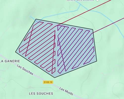
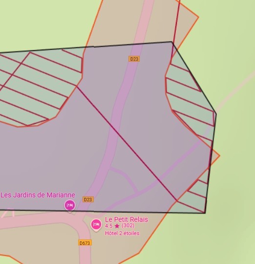
Search the address, then draw a polygon around the area to map. Use Fly beyond the edges to cover the borders well, and draw Area to avoid polygons around zones the drone must not cross.
2. Choose height and overlap
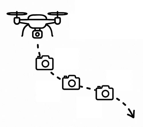
Pick the flight height and the photo overlap (for example 50% or more). SmartWaypoints derives the spacing between lines from them; you can also set a fixed line width. Choose the Photos or Photo grid (mapping) action to trigger photos along the lines.
3. Pick the sweep pattern
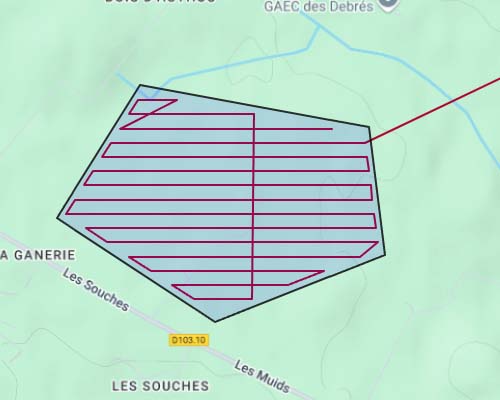
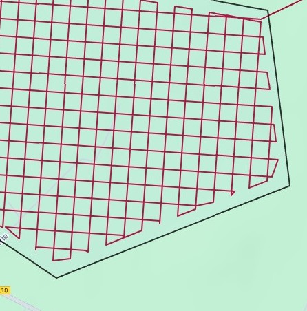
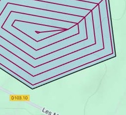
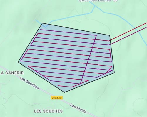
Straight lines are the most efficient. A squared grid flies the area twice in perpendicular directions, which helps 3D reconstruction of buildings. The snail spiral suits round or compact areas.
4. Split long missions
With the autonomy option, the mission is cut into several KMZ files that each fit one battery. With several drones, the area is split by zones or in alternating lines.
5. Terrain and no-fly zones
On hilly ground, Premium adjusts each waypoint height to the terrain from your take-off point so the ground resolution stays constant. In France, Pro and Premium can keep the path out of official drone restriction zones.
6. Export and process
Download the KMZ, load it into DJI Fly and fly. Then process the photos in your photogrammetry software to build an orthophoto, a 3D model or a surface model.
Which plan for mapping?
| Basic — free | Pro — 9 €/month | Premium — 25 €/month | |
|---|---|---|---|
| Waypoints per mission | 40 | 200 | 10,000 |
| Scanning patterns | Straight lines | All (straight, squared, snail) | All |
| Photo at every step | — | Yes | Yes |
| French no-fly zones | — | Yes | Yes |
| Split by drone autonomy | — | Yes | Yes |
| Terrain-following heights | — | — | Yes |
Frequently asked questions
Can I map with a DJI Mini 4 Pro or Mini 5 Pro?
Yes. Both fly waypoint missions in DJI Fly, so they can follow a photo grid created by SmartWaypoints. They are well suited to small and medium areas.
What overlap should I use?
For photogrammetry, a high overlap gives better results; many pilots use 70–80% front and side overlap. For a simple overview, 50% is often enough.
Does SmartWaypoints stitch the photos?
No. SmartWaypoints plans and exports the flight. The photos are processed afterwards in the photogrammetry software of your choice.