DJI Mavic 3, Mavic 3 Classic and Mavic 3 Pro waypoint missions
Large surveys, long inspection lines and repeatable cinematic paths for the Mavic 3 family, planned on a map and exported as a KMZ for DJI Fly.
The Mavic 3, Mavic 3 Classic and Mavic 3 Pro all fly waypoint missions in DJI Fly. With their endurance they are often used for areas that are too large for a single manual flight. SmartWaypoints plans the whole area, then — with the autonomy option — cuts it into several missions that each fit one battery.
How to create a DJI Mavic 3 waypoint mission
- Find your site. Search an address or move the map to the area you want to fly.
- Draw what you need. A polygon for an area (overflight, photo grid, video sweep or no-go zone) or points for single shots, POI orbits, take-off, start/stop video.
- Set the mission. Height, overlap or fixed line spacing, speed, gimbal angle, heading, movement pattern.
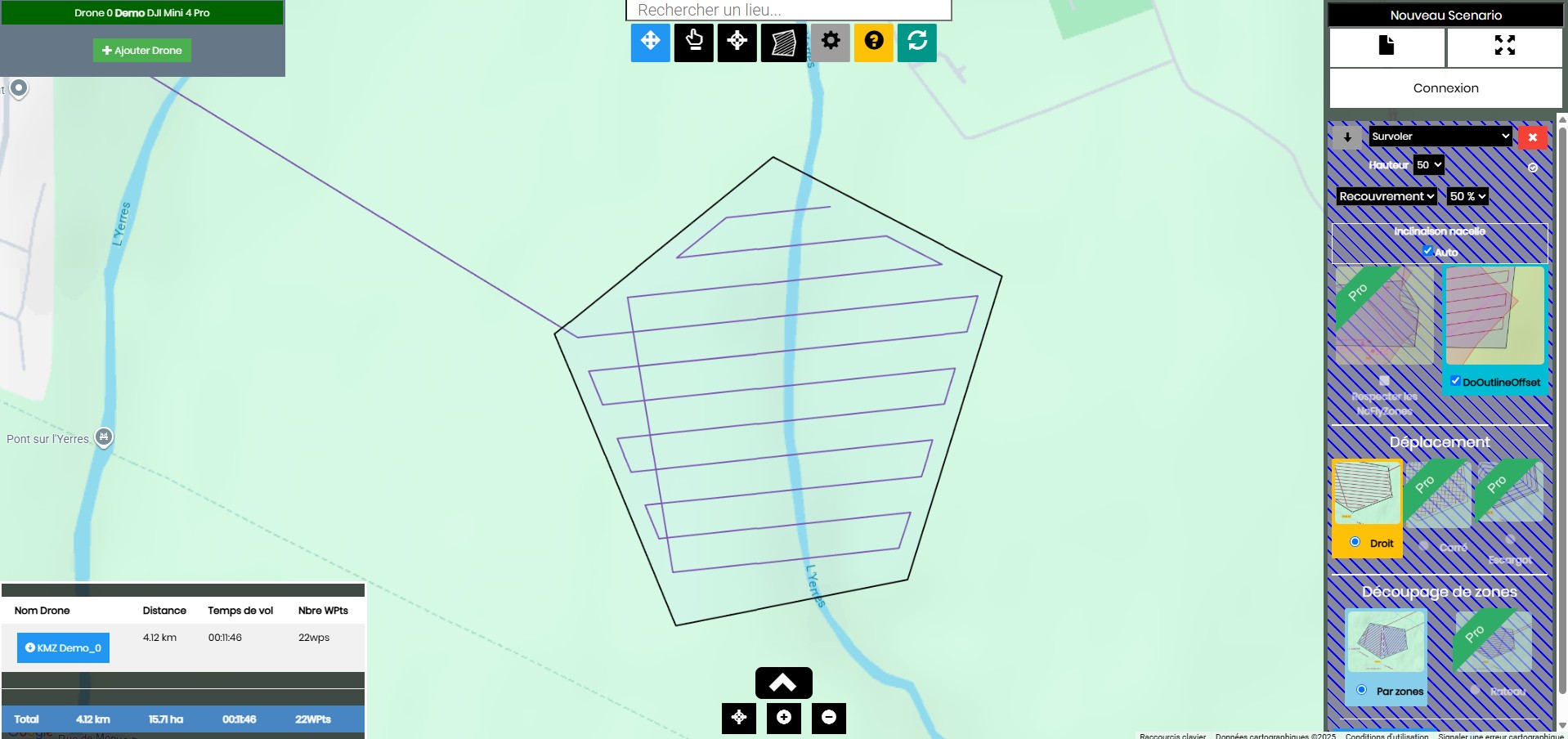
- Generate the waypoints. SmartWaypoints shows the path, its length, flight time and number of waypoints for each drone.
- Download the KMZ and load it into DJI Fly (step-by-step guide).
What you can do with it
- Large surveys: up to 10,000 waypoints per mission on the Premium plan, split by battery.
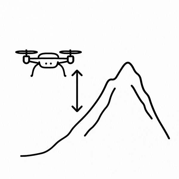
- Terrain following: on Premium, heights are adjusted to the ground from a take-off point you place, so the drone keeps a constant height over hills.
- Outline offset: extend or shrink the flown area around the polygon to be sure the edges are covered.
- Photo every step: regular photos along the lines for photogrammetry and orthophotos.
Coverage patterns
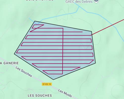
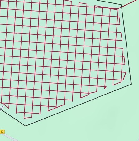
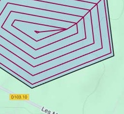
For an area, choose how the drone sweeps it. Line spacing comes either from the photo overlap you ask for or from a fixed width.
Plans
You can start without an account. The free plan covers simple missions; the paid plans raise the waypoint limit and unlock the advanced options.
| Basic — free | Pro — 9 €/month | Premium — 25 €/month | |
|---|---|---|---|
| Waypoints per mission | 40 | 200 | 10,000 |
| Scanning patterns | Straight lines | All (straight, squared, snail) | All |
| Photo at every step | — | Yes | Yes |
| French no-fly zones | — | Yes | Yes |
| Split by drone autonomy | — | Yes | Yes |
| Terrain-following heights | — | — | Yes |
Frequently asked questions
Which Mavic 3 models are supported?
Mavic 3, Mavic 3 Classic and Mavic 3 Pro, the models that use DJI Fly with the waypoint feature.
Can a long mission be split into several flights?
Yes. With the Split by battery setting, SmartWaypoints creates several KMZ files, each sized for one battery.
Do I need to install anything?
No. SmartWaypoints runs in a web browser on a computer or tablet. You only use DJI Fly on the controller or phone to fly the mission.
Is it free?
Yes, the Basic plan is free and allows missions of up to 40 waypoints with straight scanning lines. Pro (9 €/month) and Premium (25 €/month) add more waypoints and advanced options.